Charts (Non Garmin Chartplotter)

CHARTS AND MAPS FOR A WIDE RANGE OF CHARTPLOTTERS
Navionics+ mapping offers integrated marine content that details coastal features plus thousands of rivers, bays and lakes around the world. Our premium version, Navionics Platinum+ mapping, includes all the content of Navionics+ charts plus additional viewing options for high-resolution relief shading, satellite imagery, aerial photos and more. These products are the best choice for most popular brands of chartplotters. Note: If you own a Garmin chartplotter, you’ll want our Garmin Navionics+ charts.
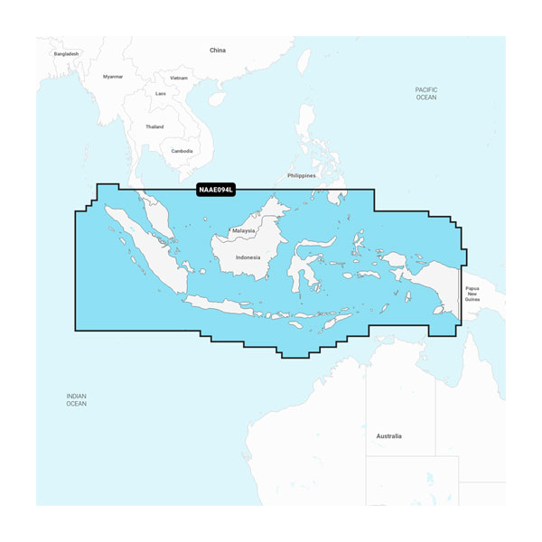
Indonesia and Malaysia - Marine Charts
Indian Ocean to Thailand - Marine Charts

Yellow Sea - Marine Charts
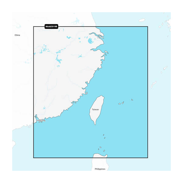
Taiwan - Marine Charts
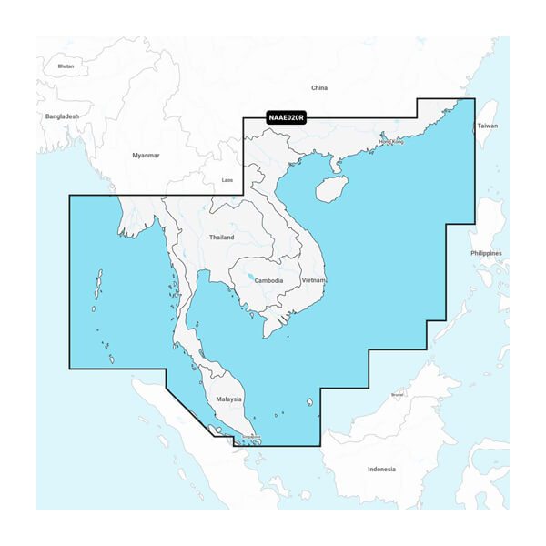
South China & Andaman Seas - Marine Charts
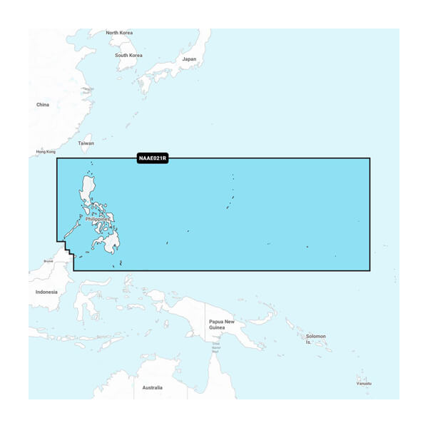
Philippines - Marine Charts
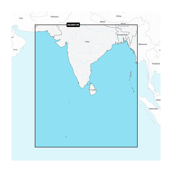
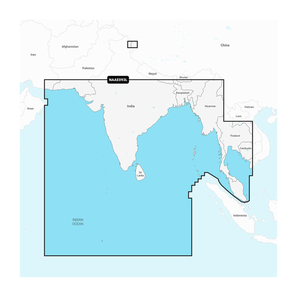
Indian Subcontinent - Marine Charts
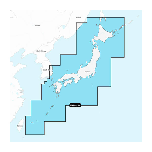
Japan - Lakes and Coastal Marine Charts
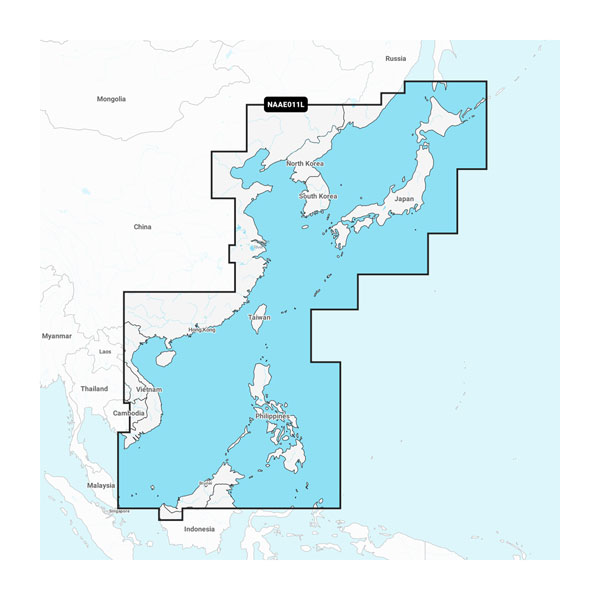
China Sea & Japan - Marine Charts